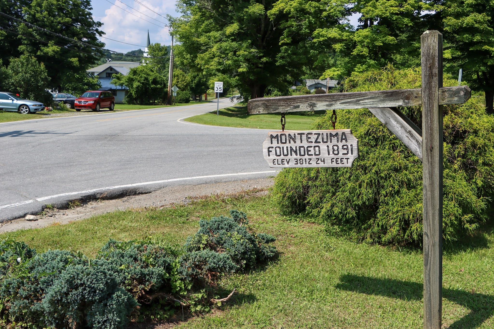
Montezuma is an unincorporated community in Avery County, North Carolina. Before its founding in 1883, it had two variant names, Aaron and Bull Scrape (Bull Scrape Gap). The community is located on Old State Highway 181 and is on the Eastern Continental Divide.
Bull Scrape Gap gets its name after a nearby salt lick that attracted many cattle. Bulls would scrape the ground with their hooves before charging other bulls in combat. The name seems to have been popularized in the mid-1880s when a post office was established here under the name, Aaron.
Aaron would be the town’s name when incorporated in 1891. Montezuma became the town’s name in 1911. The question of whether Montezuma was ever known as Bull Scrape is of local legend; but in either case, this little mountain community has a unique or seemingly out-of-place name no matter what.
Between 1904 and 1940, Montezuma was a stop along the East Tennessee and Western North Carolina (ET&WNC) Railroad between Newland and Linville, with a spur to Pineola.
Montezuma II, also spelled Moctezuma, (born 1466—died c. June 30, 1520, Tenochtitlán, within modern Mexico City), ninth Aztec emperor of Mexico, famous for his dramatic confrontation with the Spanish conquistador Hernán Cortés.