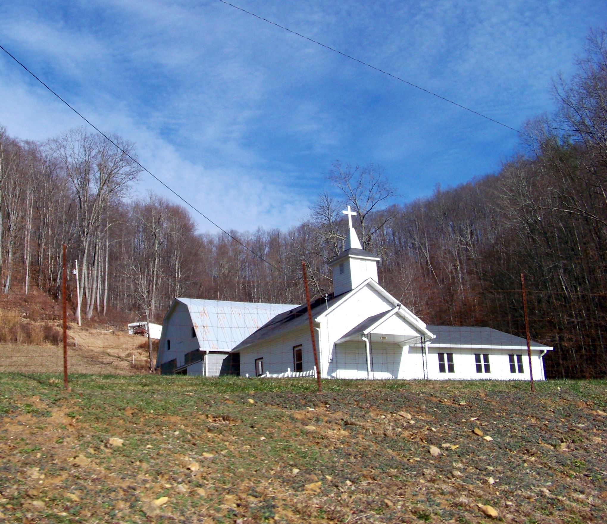
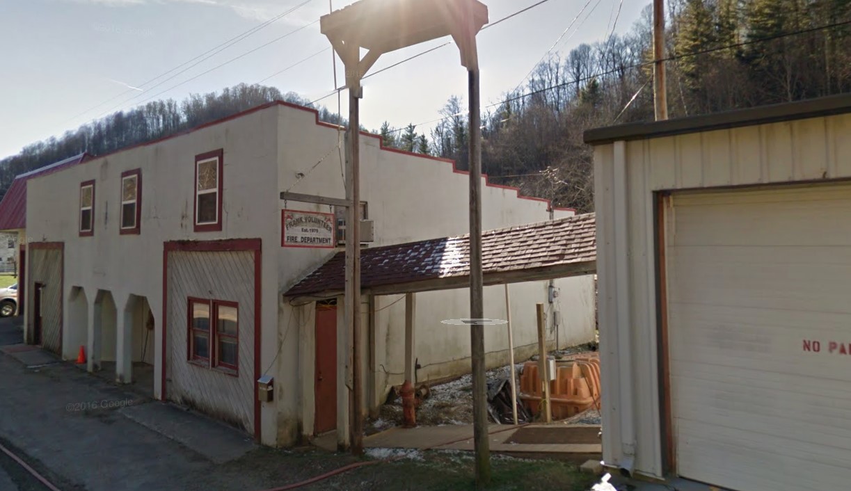
Frank North Carolina History Frank is an unincorporated community in Avery County, North Carolina. The community is located along US 19-E, between the Avery County communities of Minneapolis, North Carolina, and Roaring Creek, North carolina. Frank, North Carolina Column 1Column 2 TypeTown Population:222 (2020) Elevation2,982 Named For Named For Unkown Beech Bottom Mennonite Church Geography & Weather Geography Location: 36°04′14″N 82°00′09″WArea – Land: Area – Water: Total Area: Nearby Locations LocationDistance (mi)Driving Time (hh:mm) Crossnore6.800:13 Elk Park7.700:12 Newland7.900:13 Grandfather13.600:23 Sugar Mountain16.600:28 Weather Frank North Carolina North Carolina Historical Markers Yellow Mountain Road – N5 (1938)Marker Text:Along a route nearby the “Over-Mountain Men” marched to victory at King’s Mountain, 1780. Genealogy Frank Nearby Cemeteries CemeteryMemorials Beech Bottom Mennonite Cemetery52 Marion Buchanan Cemetery22 Pleasant Hill Baptist Church Cemetery3 Avery County Cemeteries Nearby Counties Burke County, NCCaldwell County, NC *Carter County, TNJohnson County, TN McDowell County, NCMitchell County, NC *Watauga County, NC * *Avery County was created February 23, 1911 from Caldwell, Mitchell and Watauga Counties. Ask a Question Share Your Story Frank, NC Volunteer Fire Department Frank, NC Gallery